In the mountains of Lombardy, numerous partisan stories come to life. These mountains provided refuge, survival, and planning grounds for many Italian rebels who opposed the Fascist regime and later the Nazi occupation. Many of these stories have been well-preserved by the renowned Italian association ANPI, which brings together the descendants and friends of the partisans. This page focuses on one particular partisan trail, but there are several others to explore. Feel free to contact us for more information about alternative routes.
The 55th Fratelli Rosselli Brigade Trail
The 55th Fratelli Rosselli Brigade was officially formed on July 27, 1944. This group had jurisdiction over the entire province of Como, the Valle di Chiavenna, the Val Masino, the Valtellina up to Tirano, the Val Gerola, the Val Tartano, and the north-western part of the Bergamasca region. Originally, there were two Garibaldi Assault Divisions in Lombardy, and they remained until the days of the insurrection. The 55th Rosselli operated from the Artavaggio plains (Lecco-Valsassina) to Monte Legnone, covering the lower Valtellina from Valgerola to Colico. Following a major roundup that began on October 10, 1944, the Division was scattered, with some members escaping to Switzerland via the Teggiola pass in Val Codera on December 1, 1944. It was reborn in the spring of 1945 thanks to the groups left behind. The trail of the 55th Fratelli Rosselli Brigade starts in Introbio (Valsassina) and ends in Bondo (Val Bregaglia).
Introbio is a village in the heart of Valsassina, accessible from Lecco via Ballabio, while Bondo is a few kilometers beyond the Villa di Chiavenna customs in Swiss territory. The first part of the route follows the Troggia Valley, ascending to Biandino and the Madonna della Neve. Leaving the gentle Biandino Valley, the trail climbs the ridge to the Biandino side and the Rifugio S. Rita. From here, it follows the head of Val Varrone to Bocchetta di Trona, then descends to Castello (Gerola Alta). The trail continues towards Pedesina and Sacco, staying high in the valley and passing Alpe Ciof and Rifugio Corte before descending to Morbegno. Crossing the Adda plain, it ascends to Poira di Dentro, climbing along the Cech range through Prà Succ and Alpe Visogno to the Malvedello Pass, then descending into Val dei Ratti. Passing through Frasnedo, the trail descends to Casten, where it follows the Trecciolino to Codera. From Codera, the route climbs to Rifugio Brasca and Alpe Sivigia before ascending to Bocchetta della Teggiola and descending to Bondo.
About the trail
This trail is suitable for experienced hikers and is generally straightforward, with the initial section from Introbio to Morbegno and the part through Val Codera being tourist-friendly. However, even the easiest trails require caution, as changing weather and fog can create challenges. Special care is needed on the ascent and descent from the Malvedello Pass due to the lack of marked paths—only trail traces are present. In foggy conditions, it’s advisable to abandon this path and take the Culmine Pass route instead, which is longer but safer and more straightforward. Always contact the refuge managers or the CAI section for bivouac arrangements. This trail offers various options, from completing it in six days to taking it one or two days at a time, with plenty of support points allowing for breaks and variations.
One day hike: from Introbio to Rifugio Tavecchia
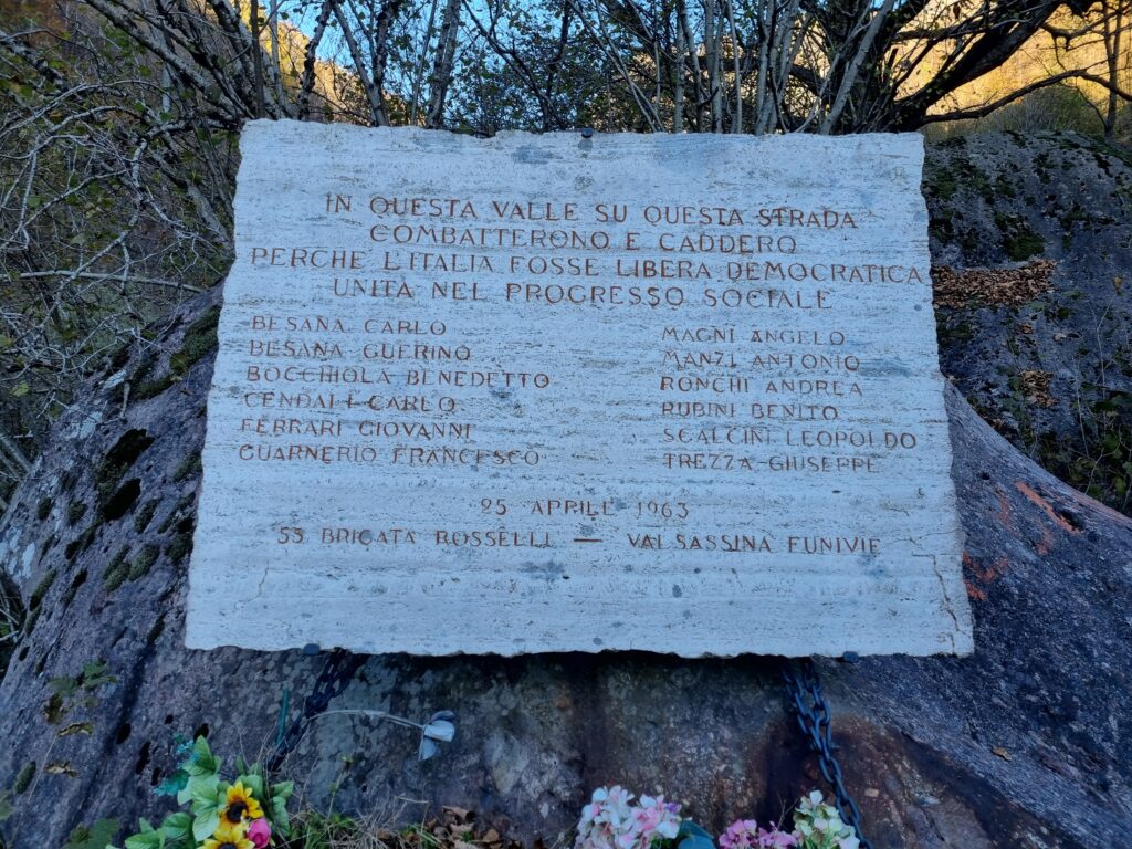
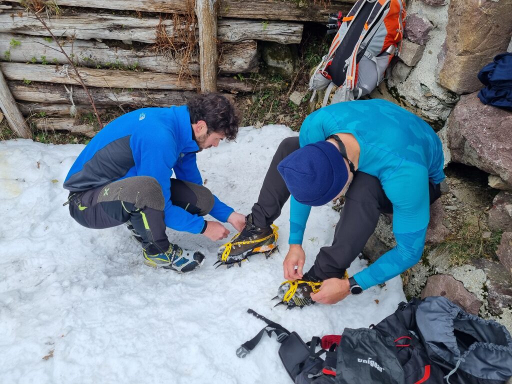
For a day hike, you can enjoy the first segment of the trail, which leads from Introbio to the Tavecchia and Valbiandino refuges. At the trailhead, you’ll find a large commemorative plaque engraved on a massive boulder. The path runs parallel to a stream, with a mountain road on the other side that can be accessed by off-road vehicles provided by the refuges (reservation and fee required). This hike takes about two or three hours and is relatively easy, except for a few muddy sections near some small streams. During the colder months, ice and snow can pose additional challenges, which can be easily managed with proper equipment (crampons). Upon reaching the Tavecchia and Valbiandino refuges (located opposite each other), you can take a well-deserved break. If you wish to continue, you have the option to reach one or both of the next refuges.
Option 1: From Rifugio Tavecchia to Rifugio Madonna della Neve and Lago di Sasso
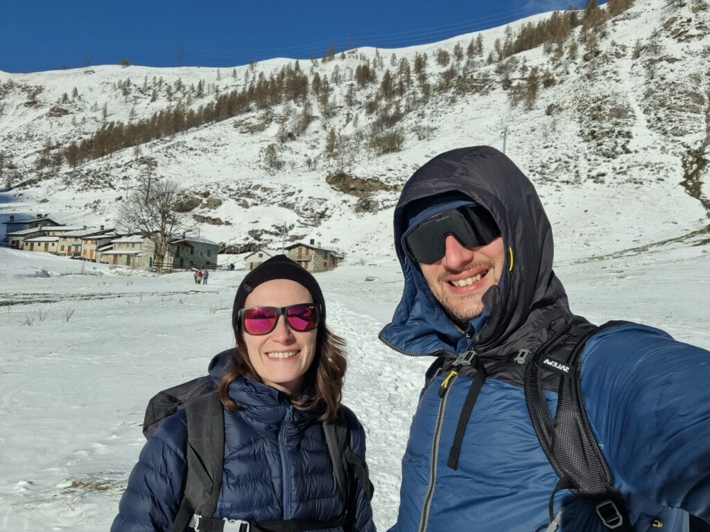
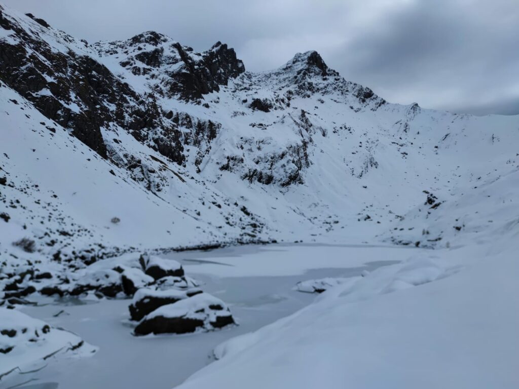
From Rifugio Tavecchia, you can follow a comfortable path that leads to a snow-covered trail for much of the year, aptly named Madonna della Neve. Beyond this point, you can reach Lago di Sasso, a stunning mountain lake that freezes completely during the colder months.
Option 2: From Rifugio Tavecchia to Rifugio Santa Rita
If you’re up for it, you can hike to Rifugio Santa Rita in about two hours. The ascent has an elevation gain of about 500 meters but doesn’t present significant technical challenges. It’s essential to be well-equipped for ice and snow. From Rifugio Santa Rita, you’ll enjoy an excellent view of the valley before heading back.